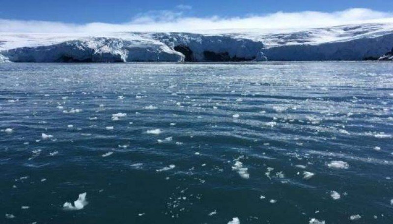
Every year, Antarctica’s frozen ocean water melts during the spring and summer. As the temperatures drop in the autumn and winter, the ice cover grows again and reaches its maximum yearly extent.
Researchers have been continuously measuring Antarctica sea ice since 1979. Using latest satellite data, they have found a total 2.15 million square kilometers ice cover surrounding the continent during the lowest point in February this summer season. It is slightly larger than the previous minimum extent of 2.07 million square kilometers that occurred in March 2017.
Last year, Antarctic sea ice numbers were almost at their lowest. Total polar sea ice covered 18.05 million square miles last year, which is the near record-lows for the wintertime maximum sea ice cover.
“Since August 2016, the sea ice coverage has been tracking well below the long-term average," Bureau of Meteorology Antarctic scientist Phil Reid said in a statement.
“In 2017, the winter maximum sea ice extent was the second lowest on record at 18.05 kilometers following closely on the heels of successive record highs of successive record highs in 2012, 2013 and 2014."
The ice sheet in Antarctica has not always remained stable. In fact, it has gone through drastic changes in the past few years. Only three years ago, ice levels hit a record high of more than 20 million square kilometers, but the situation is different now. Overall, the increasing trend in Arctic sea ice is about 1.7 percent each decade since 1979.
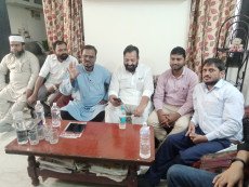 Victory of Mahagathbandhan candidates is essential to defeat communalists: Intikhab Alam
 सांप्रदायिकतावादियों को हराने के लिए महागठबंधन उम्मीदवारों की जीत ज़रूरी: इंतिखाब आलम
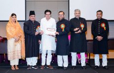 सर सैयद का मिशन अभी अधूरा, मुस्लिम बच्चों में स्कूल छोड़ने की दर अभी भी ऊंची: इक़रा हसन
 बिहार-विधानसभा-चुनाव-में मुसलमानों-की-भागीदारी-के बिना-मुस्लिम-वोट-नहीं-लिये -जा सकते: साजिद-मलिक
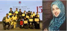
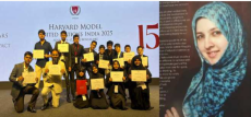 Iqra International School’s historic debut at Harvard Model UN 2025, a great opportunity to build the capacity of students: Noor Ayesha
 हार्वर्ड मॉडल यूएन में इकरा इंटरनेशनल स्कूल का ऐतिहासिक पदार्पण, छात्रों की क्षमता निर्माण का एक शानदार अवसर: नूर आयशा
 बैंगलोर की पुरस्कार विजेता शिक्षाविद् नूर आयशा को हार्वर्ड विश्वविद्यालय में स्नातकोत्तर अध्ययन में प्रवेश मिला
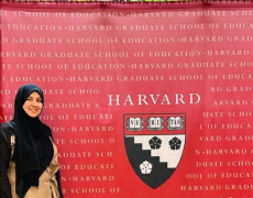 Award-winning educationist Noor Ayesha from Bangalore Gains Admission to Harvard University's Postgraduate Program